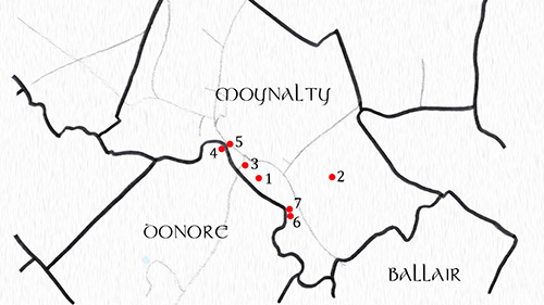
This section covers the historical monuments that can be found in the Civil Parishes of Moybologue, Kilmainhamwood and Moynalty. A Civil Parish is a sub-division of a barony and was originally used for census and taxation purposes. Baronies were English units of administration which roughly followed the boundaries of the Gaelic ‘tuathas’ (petty kingdoms), or ‘tricha cét’ (meaning ‘thirty hundred’: a division of land capable of mustering 3,000 soldiers). Therefore, the modern Civil Parish is the ancestor of the old Gaelic kingdoms, albeit drastically changed in size.
The maps of each townland were recreated from details available on OpenStreetMap, which also lists the townlands that make up each Civil Parish. The information on local historical monuments is a much condensed and summarised version of what is already readily available on the ‘Historic Environment Viewer’ app from the National Monuments Service.
Send in your photos!
Take some photos of the monuments in your townland and email them to beyondtheborora@outlook.com. They will be featured on the website alongside your townland map.

Moybologue

Kilmainhamwood
Moynalty
